Welcome to the Remote Sensing and Ecosystem Change Lab!
Our research focuses on ecosystem responses to changing climate, fire disturbances, and management practices, as well as the subsequent consequences for energy, water, and carbon cycles. We integrate remote sensing imagery and other geospatial data, via machine learning techniques, to study the processes and feedbacks associated with ecosystem dynamics. Our studies cover diverse ecosystems, ranging from croplands, rangelands, savannas, to forests, with a particular focus on landscape phenomena. The primary goal is to develop improved ecosystem monitoring capabilities at scale, and provide data-driven insights for adaptive resource management, climate mitigation and adaptation decision making.
Most Recent PublicationsOI: 1
Zhu, Y., D. Dixon, Y. Jin, Scalable sub-meter mapping of woody vegetation and structures across California’s heterogeneous landscape using deep learning (2026). Remote Sensing of Environment. 333:115091. https://doi.org/10.1016/j.rse.2025.115091
Dixon, D., Y. Zhu, and Y. Jin (2024). Canopy height estimation from PlanetScope time series with spatio-temporal deep learning, Remote Sensing of Environment.
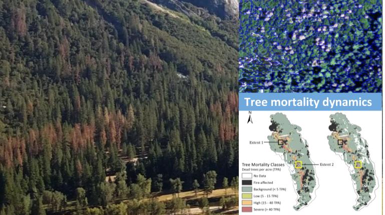
Dixon, D., C. Brown, Y. Zhu, and Y. Jin (2023). Satellite detection of canopy scale tree mortality from California wildfires with spatio-temporal deep learning, Remote Sensing of Environment.
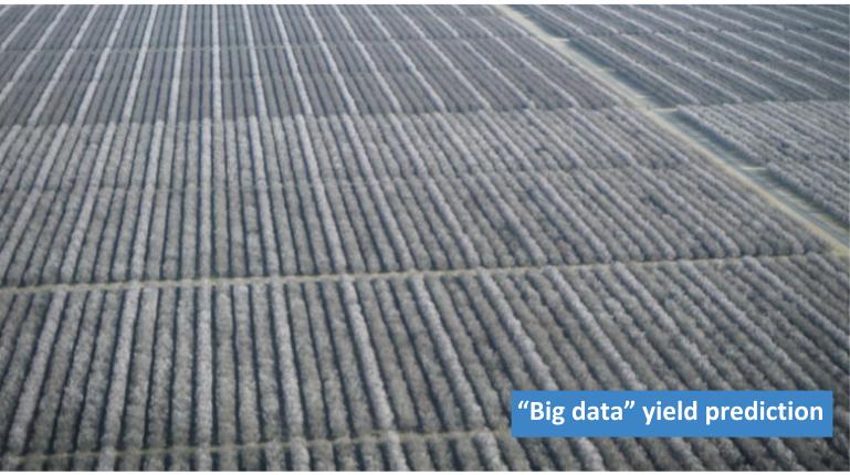
Tang, M., D. Sadowski, C. Peng, S. Vougioukas, B. Klever, Sat D. Khasla, P. Brown, and Y. Jin (2023), Tree-level Almond Yield Estimation from High Resolution Aerial Imagery with Convolutional Neural Network, Frontiers in Plant Science.
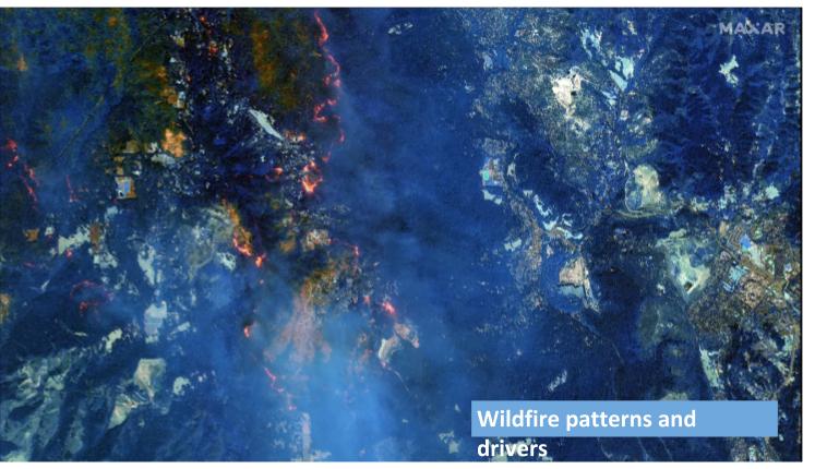
Chen, B., and Y. Jin (2022), Spatial Patterns and Drivers for Wildfire Ignitions in California, Environ. Res. Lett..
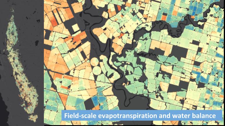
Wong, A.J. et al. (2021), Multi-scale Assessment of Agricultural Consumptive Water Use in California’s Central Valley, Water Resources Res.
Read more ......
A postdoctoral scholar position available: https://recruit.ucdavis.edu/
Contact yujin@ucdavis.edu for porential graduate student ressearcher positions ......

